
Generations pass and technologies evolve, but biodiversity research still depends on reaching the farthest corners of the world to make direct contact with species. Whether trekking through dense rainforests, diving into uncharted seas, or scaling high mountain peaks, humans had to do this on their own – until the last decade.
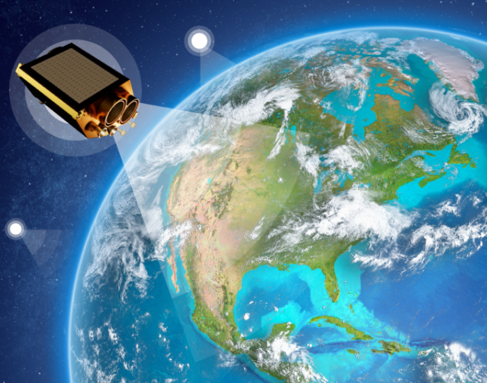
Today, a new vantage point is revolutionizing the process: orbiting hundreds of kilometers above us, satellites now offer scientists a bird’s‑eye view of Earth’s ecosystems. Researchers can now spot habitat changes and map species distribution with satellite images in high resolution right from space, even in inaccessible regions. As a result, biodiversity gains massive aid by being protected in a rapidly changing world.
Biodiversity Hotspots and Benefits Of Satellite Imaging
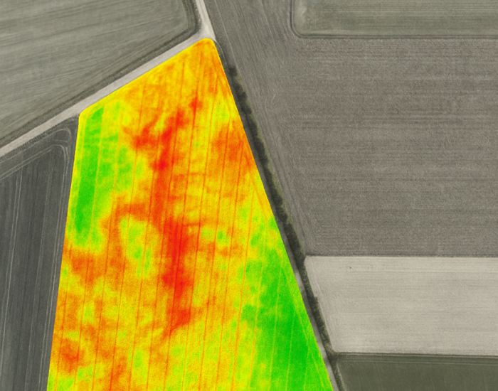
Regions like the Amazon, Congo Basin, and Southeast Asia host some of the richest biodiversity on Earth, yet they remain among the most challenging and dangerous to explore. With high-resolution satellite imagery free to researchers through specific programs, conservationists can now observe these hotspots in unprecedented detail. This can be guaranteed by tools like multi-spectral sensors that allow to detect healthy vegetation, identify the signs of wildlife, or catch seasonal migration corridors. A wide variety of other tools can guide scientists toward both potential habitats and endangered zones:
- Standardized, repeatable monitoring: satellites and AI can consistently detect plastic waste patches and build a near real‑time pollution map.
- Rapid, large‑scale surveys: Imagery has shown a loss of 4,000 km² of tidal wetlands over just two decades, according to NASA Earth Observatory.
- Access to previously hidden sites: A 1.5‑million Adélie penguin colony, hidden for 3,000 years, was found via continent‑wide satellite review.
- Accurate area snapshots: Minimizes miscounts caused by human observation overlaps or moving species.
- Non‑intrusive observation: Removes the need for physical presence, protecting sensitive habitats from disturbance.
Technologies Behind Satellite‑Based Wildlife Monitoring
Today, satellites are not just weather forecasting tools. They are an integral part of the whole wildlife monitoring ecosystem. By combining habitat change data with behavioral models, scientists can track elusive or migratory species without disturbing them. For example, with the help of sea ice cover analysis, conservationists can forecast hunting patterns and survival risks of polar bears. Another example – forest canopy density can reveal populations of orangutans, and changes in beach morphology help to detect the nesting sites of sea turtles. And all of this is possible due to the set of technologies:
- High-res satellite images deliver fine‑detail habitat features, allowing precise ecosystem monitoring.
- Hyperspectral imaging captures data beyond visible light to assess vegetation health and water quality.
- Radar and lidar mapping provide 3D structural insights above and below ground.
- Machine learning algorithms rapidly analyze imagery, finding patterns in migration or breeding behavior.
- Cloud‑based geospatial tools enable global, real‑time access to processed satellite data.
AI and Citizen Science for Global Biodiversity Monitoring
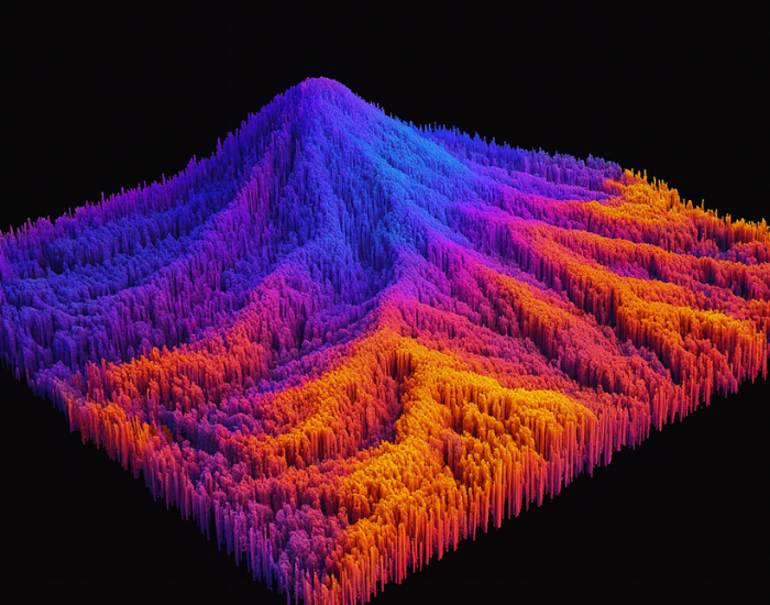
Human welfare massively depends on biodiversity nowadays, because a wide variety of plants and species form healthy ecosystems, ensuring clean air, fresh water, fertile soil, and stable climates. But today, traditional human-led initiatives can not cope with the accelerated loss of biodiversity and extinction rates. That’s why AI is an integral tool to back up conservationists’ efforts that can provide capabilities to overcome human limitations and offer unprecedented instruments to analyze data, recognize patterns, and predict changes. AI brings unique advantages to modern conservation:
- Processing big data – From DNA sequences to acoustic recordings, AI can integrate diverse datasets with satellite imagery, detecting patterns invisible to the human eye.
- Automation and efficiency – Tasks like habitat mapping or species recognition from camera traps can be done automatically, freeing scientists to focus on strategy.
- Predictive power – Advanced models forecast species migrations, disease outbreaks, and climate change impacts, enabling proactive conservation measures.
- Citizen science integration – Data submitted by volunteers (e.g., photos, field notes) can be cross‑referenced with satellite data for validation and wider coverage.
- Real‑time monitoring – Automated analysis of satellite feeds allows near‑instant detection of habitat loss or illegal activities.
Turning Satellite Data into On‑the‑Ground Conservation Action
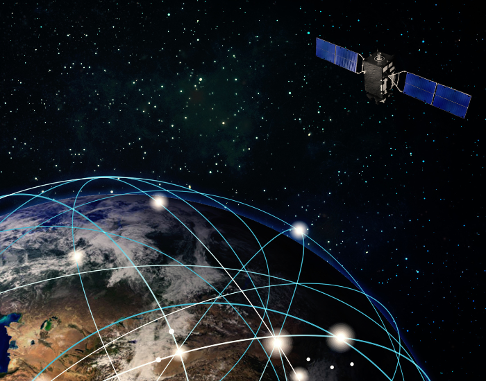
But not only does Artificial Intelligence allow for automated and accurate species identification and tracking. The main source of imagery processed by AI is satellites. Of course, it is most powerful when used alongside AI and machine learning algorithms. This high-resolution satellite imagery helps to identify areas facing rapid changes and start pattern research to take timely measures. This time-travel allows conservationists to compare archived satellite images to up-to-date data to protect existing species in areas that face deforestation, ice loss, or coral bleaching.
Platforms like EOSDA LandViewer offer a vast archive of up‑to‑date and historical satellite imagery, enabling conservationists a fast, accessible way to observe ecosystems from above. Built‑in analytical tools, such as vegetation indices, help assess plant health and identify areas under stress, while near‑real‑time imagery makes it possible to spot emerging threats before they escalate. This ability to pinpoint and prioritize critical zones allows field teams to focus resources where they are most needed, making biodiversity protection faster, more precise, and less disruptive to the species they seek to preserve.
The Next Generation of Satellites for Conservation
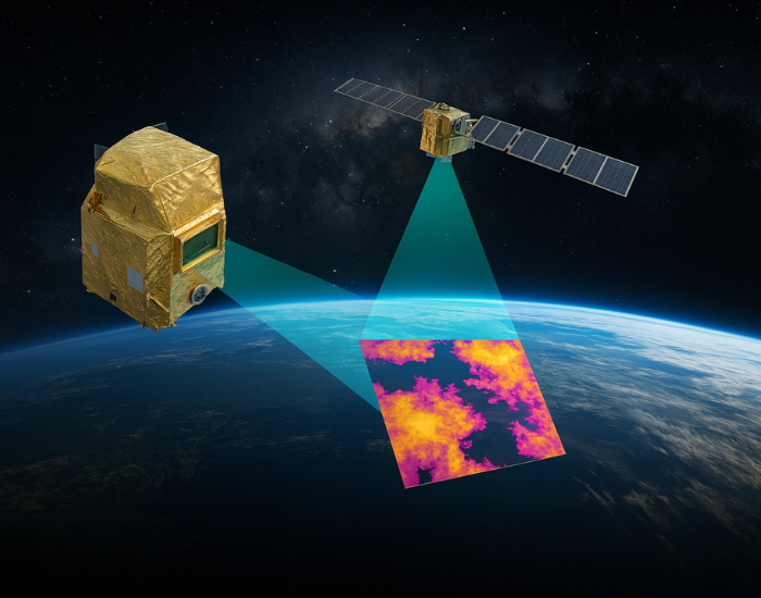
Technology development never stops, so the next generation will deliver betterresolution of images at unprecedented clarity due to advanced sensors such as thermal imagers and hyperspectral cameras, capable of detecting everything from heat signatures of large mammals to the chemical composition of vegetation.
When these capabilities merge with AI, cloud computing, and global data‑sharing platforms, the gap between space and species narrows even further. Researchers will be able to monitor ecosystems in near‑real time, predict changes before they become critical, and direct conservation resources with pinpoint accuracy.
Satellites will never replace field biology, because the human presence in conservation remains essential. But they offer a perspective no ground‑based method can match. By revealing large‑scale patterns invisible to us, they hold the potential to uncover life that has gone unnoticed for centuries.
______________
Author :